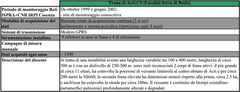
Acri landslide - Serra di Buda - Cosenza (Calabria-Italy)
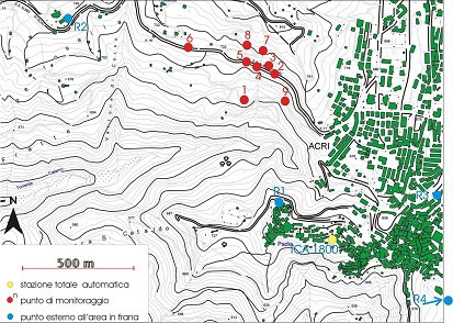
Planimetry of the monitoring area and distribution of the network installed by ISPRA: Yellow dot-Robotic Total station; Red dot-Prisms in the unstable area; Blu dot-Prisms in the stable area
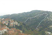
Overview of the unstable slope
|
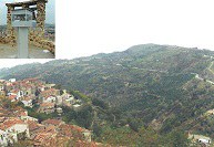
Overview of the landslide area and detail of the Robotic Total station |
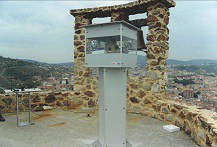
Robotic Total station located upon the Tower of the Acri town |
|
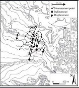
Monitoring network map with the displacement vectors in the period Jan 2001 – Jun 2002 |
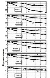
Trend of the altimetric (a) and planimetric (b) components of the movements surveyed at the measurement points in the period Oct 1999 - Jun 2002 |
Related article
Updated: April 5th 2022

