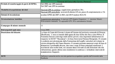
Costa della Gaveta landslide - Potenza
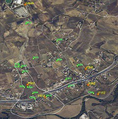
Monitoring network installed by ISPRA on the Costa della Gaveta slope:  ) Survey-style GPS station;
  ) Permanent GPS station
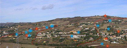
Overview of the slope:  ) Permanent GPS station;
  ) Survey-style GPS station
|
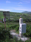
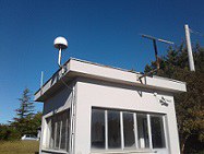
Permanent GPS station F5Pz |
Master station-CAMA |
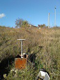
Survey-style GPS station S009 on inclinometer tube |
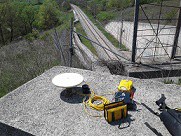
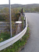
Survey-style GPS station CS01 |
|
Survey-style GPS station CS14 |
Displacements over time in the N, E, U components detected by F3 GPS permanent station |
Horizontal displacements detected by all GPS stations over time in the two landslide bodies |
Related documents:
- Long-Term Displacement Monitoring of Slow Earthflows by Inclinometers and GPS, and Wide Area Surveillance by COSMO-SkyMed Data
- The Second World Landslide Forum “Putting Science into Practice” - Abstract book
- Surface displacements of two landslides evaluated by GPS and inclinometer systems: a case study in Southern Apennines, Italy
Update: March 2022

