PNRR. ISPRA, the MER Project begins. To 'restore' the Italian seas
Unprecedented mapping of the entire Italian coast is underway
LiDAR technology for marine mapping and restoration
As part of the Marine Ecosystem Restoration (MER) project, the tender to map the coastal habitats of the entire Italian coast was assigned, an innovative initiative within the National Recovery and Resilience Plan.
ISPRA selected the Fugro-led consortium to use its cutting-edge technology for mapping coastal environments, a revolutionary approach that is set to transform conservation and restoration efforts for marine ecosystems.
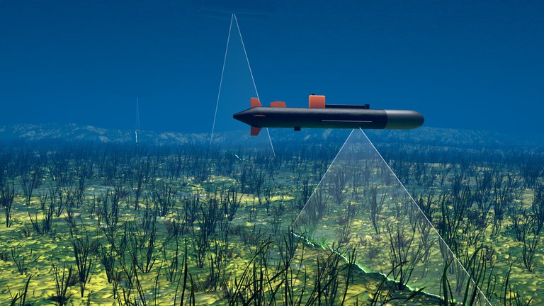
The survey activities will be conducted throughout the national coastal territory and include the mapping of the Posidonia oceanica and Cymodocea nodosa meadows, using cutting-edge sensors, including LiDAR and airborne optical sensors, aerial gravimetry (a technique that uses sensors that measure gravity , useful for obtaining greater detail) and satellite sensors, covering an area of 10,200 km2, multibeam technology and the use of an autonomous underwater vehicle for the direct observation of 4000 kilometers of coast.


