Agreement for the definition of the geotechnical model of the Calita landslide (Baiso - Reggio Emilia)
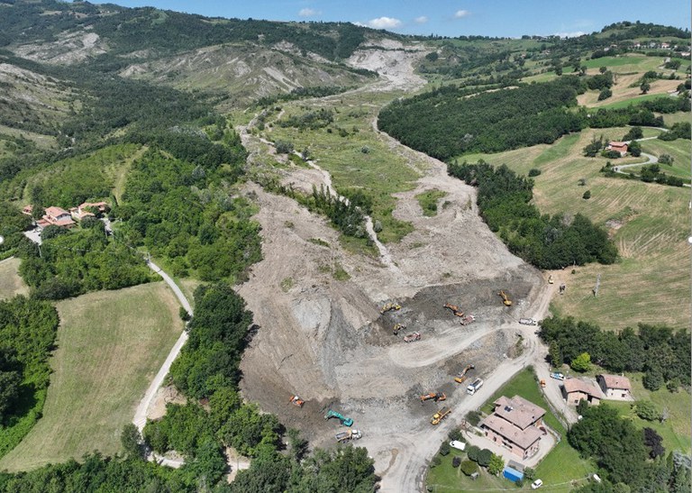
In January 2024, an agreement was signed between ISPRA, Agenzia regionale per la Sicurezza Territoriale e la Protezione Civile della Regione Emilia-Romagna and Autorità di Bacino Distrettuale del Fiume Po to study the triggering causes, kinematics and propagation of the Calita landslide movement, near the village of Baiso (Reggio Emilia).
According to ISPRA’s IdroGEO portal (ID: 0350006501), the landslide has an extension of more than 900,000 square metres and is 10 to 40 metres deep. The type of landslide movement is classified as 'complex’ as it consists of a rock slide overlying an earth flow with a longitudinal extension of approximately 1.8 km.
The staff of the Department of the Geological Survey of Italy (GEO-APP, Applied Geology and Geotechnical Section) and of the National Centre for the National Laboratory Network (CN-LAB, Laboratory of Soil and Rock Mechanics) of ISPRA will be involved in geotechnical laboratory tests, in order to characterise the hydro-mechanical behaviour of soils/rocks from the landslide, and in 2D/3D numerical modelling with advanced methods for the study of landslide stability and propagation

Source: G. Bertolini

Photos of the landslide specimens inside the triaxial cells of the CN-LAB Soil and Rock Mechanics Laboratory of ISPRA

