Publications
Environment in Italy: an overview. Environmental Data Yearbook 2023
Environment in Italy: an overview. Environmental Data Yearbook 2023 is a statistical report produced by the Italian Institute for Environmental Protection and Research(ISPRA) in collaboration with the regional and autonomous province environmental protection agencies as part of the National System for Environmental Protection (SNPA).
Atlas of Environmental Data. Edition 2024
The Atlas of environmental data, a volume that ISPRA publishes in this new edition, which offers an overview and a selection of the main environmental data in Italy. It provides cartographic representations that show the distribution of the main environmental information on the territory which, together with graphs, tables and texts, illustrate the situation of our country.
Geological map of the Nord Rupes (North Polar Cap, Mars)
Passive systems application for soil gas monitoring in contaminated sites (ISPRA-Unem Agreement)
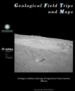
Geologic evolution and map of Copernicus Crater interior (Moon)
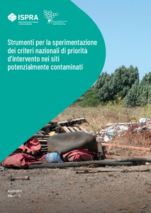
Tools for the implementaton of national priority criteria for ranking potentially contaminated sites
ISPRA, as required by the Art. 199 - paragraph 6, letter a) of Legislative Decree 152/06, states that Regional Remediation Plans of Polluted Areas (PRBs) must provide “an order of priority of interventions based on risk assessment criteria defined by ISPRA”. ISPRA priorities has started and concluded the first phase of developing risk assessment criteria as described in detail in the Report 365/2022
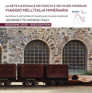
A journey to Mining Italy
Several mining sites have redesigned the mining landscape from Northern to Southern Italy, they have been transformed, valued and converted into mining parks and museums and are today presented in “A journey to Mining Italy”. This journey consists in a multifaceted experience spacing from environmental geology to mining landscapes and technologies.
Proposal of a new geomorphological cartography model for application purposes - geomorphological map of Italy at 1:50,000 scale
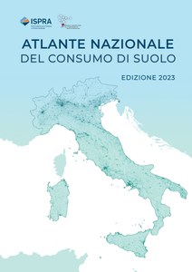
National atlas of land consumption. Edition 2023
The Land Consumption Atlas is part of the products created by ISPRA and the SNPA on the topics of land consumption, the state of the territory and settlements, the impacts on ecosystem services and degradation. In particular, it aims to contribute to knowledge, awareness and the formation of a critical conscience on these issues
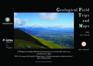
LGM glacial and glaciofluvial environments in a tectonically active area (southeastern Alps)
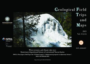
When tectonics and climate take over: Quaternary depositional history of extensional Tuscan basins
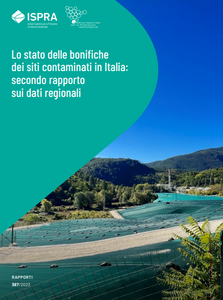
Second report on the status of contaminated sites management in Italy: regional data
The second report on contaminated sites management at regional level, presents and analyses data on administrative and technical procedures updated to 31.12.2020. The data have been derived from MOSAICO, the national database on the contaminated sites management populated by the data uploaded by SNPA, Regions and Autonomous Provinces, including ongoing procedures (16,199) and those completed (18,823).
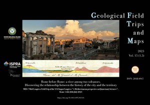
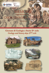
Rome before Rome: a river among two volcanoes. Discovering the relationship between the history of the city and the territory
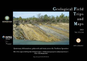
Quaternary deformations, palaeosols and strata across the Northern Apennines
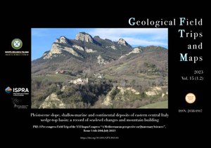
Pleistocene slope, shallow-marine and continental deposits of eastern central Italy wedge-top basin: a record of sea-level changes and mountain building
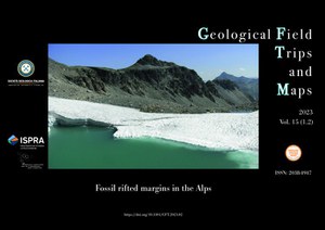
Fossil rifted margins in the Alps
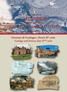
Days of Geology and History IIº cycle
Atlas of Environmental Data. 2023 edition
The Atlas of environmental data, a volume that ISPRA publishes for the first time, offers an overview of the main environmental data. It provides cartographic representations showing the spatial distribution of the main environmental information which, together with graphs, tables and texts, illustrate the state of the entire national territory.
Environment in Italy: an overview. Environmental Data Yearbook 2022
Environment in Italy: an overview. Environmental Data Yearbook 2022 is a statistical report produced by ISPRA with the aim of providing policy makers, public administrators, technicians and citizens with official information on the state of the environment in our country.
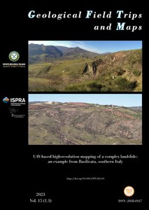
UAV-based high-resolution mapping of a complex landslide: an example from Basilicata, southern Italy
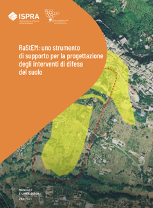
RaStEM: a tool to support planning and design of hydrogeological risk mitigation measures
The monitoring of hydrogeological risk mitigation measures, that ISPRA has been carrying out for more than twenty-five years on behalf of the Ministry of the Environment and Energy Security (MASE), highlights that in many cases measures planning and design does not take into account adequately the typological characteristics of the hazards and the relationships between them and the elements exposed to risk in the area
Application of isotopic analysis for the proportioning of organic matter: study of an artificial reservoir
With the study of the stable isotopes of carbon and nitrogen it is possible to quantify the contribution to the total organic substance deriving either from the natural transformation of the biotic component or from anthropic sources such as, for example, urban and/or industrial waste. Recent research has demonstrated the effectiveness of such investigations in the identification and evaluation of contributions to organic matter deriving from multiple sources, in fact the stable isotopes of carbon and nitrogen show an isotopic composition characteristic of the source from which they originate.
National inventory of closed or abandoned type A mining waste storage facilities. Update report to 2022
Stratigraphy and facies of the Apennine Carbonate Platform (southern Italy): the record of Mesozoic OAEs and Miocene transgression
FT3 Preconference Field Trip of the 3rd International Congress on Stratigraphy STRATI 2019, Milan (Italy), 29th -30th June 2019
Geological Map of Italy at 1:50,000 scale - Updating and supplementing the guidelines of the Geological Map of Italy at 1:50,000 scale (Version 1.0/2022)
Days of Geology and History December 2021/June 2022
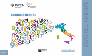
The Yearbook in figures
Environmental Data Yearbook 2021
Walking through the environment
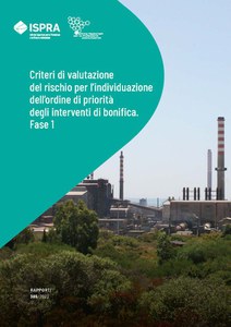
Risk assessment criteria for priority setting of the remediation interventions
ISPRA, as required by the legislation (Art. 199 - paragraph 6, letter a) of Legislative Decree 152/06), has started the activities of developing risk assessment criteria as a national reference for the Regional Plans for the Remediation of Polluted Areas (PRBs). This report illustrates the activities conducted in the first phase (phase 1), in which national priority criteria are first identified, to apply to potentially contaminated sites, with the support of the Technical Table, set up with Regions and ARPA, starting with the reconnaissance of criteria available at national and international level.
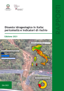
Landslides and floods in Italy: hazard and risk indicators – 2021 Edition
The 2021 edition of the Report, the third dedicated to this topic, provides the updated overview on landslide and flood hazard, coastal erosion in Italy and presents the risk indicators related to population, families, buildings, industries and services, and cultural heritage.

