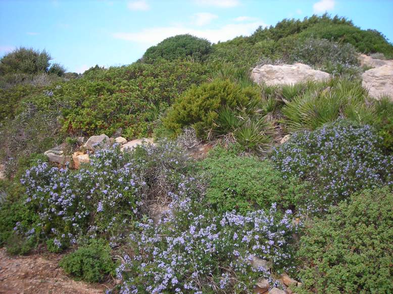
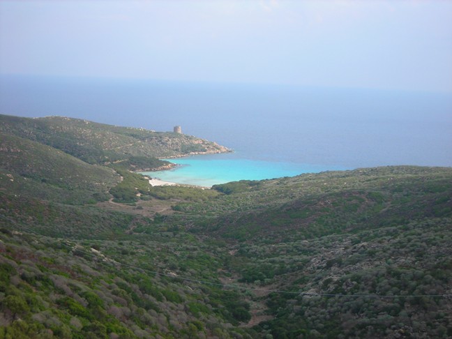
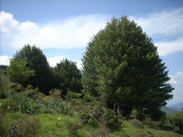
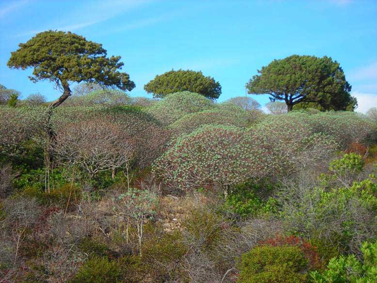
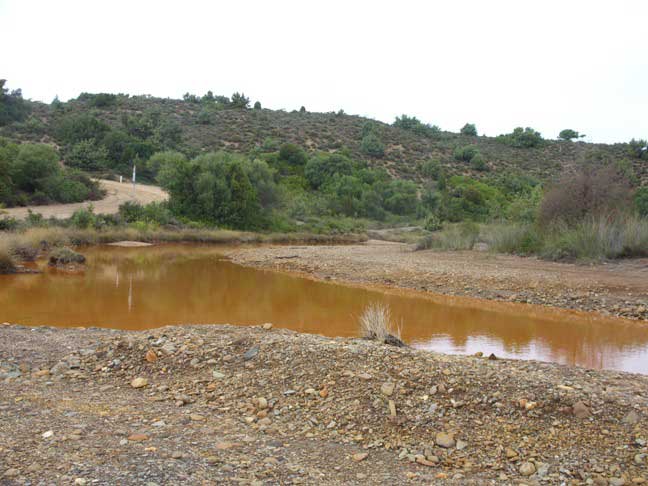
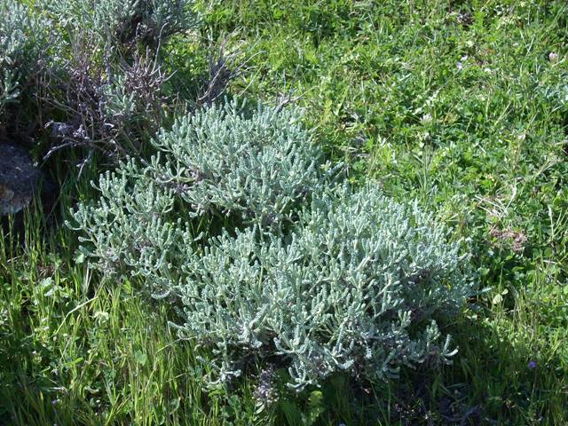
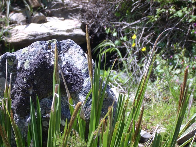
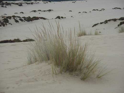
Map of the Nature System
 |
 |
 |
 |
 |
 |
The Map of the Nature System was developed in two main steps. In
the first step it was realised a map of homogeneous territorial
units from an environmental point of view. In the second step
models and procedures were applied to estimate the ecological value
and environmental fragility of the mapped territorial units.
The Map of the Nature System is here schematically presented in two
parts: a cartographic section and a modeling-evaluative
section.
- Cartography: realisation of maps at different scales referred to scale-dependent environmental units, through a systemic approach for the study and classification of the territory and the use of integrated methodologies (satellite and air-borne remote sensing, field controls, use of ancillary information from databases and thematic cartography).
- Assessment: attribution to each territorial unit of the respective values of environmental quality and vulnerability, by means of "synthetic indexes" elaborated through ad-hoc models built on top of several basic indicators.
All the cartographic products, associated databases and ancillary data useful for mapping, editing and modeling are part of a Geographic Information System.
Publications and technical documents that illustrate the methods are available in the pages dedicated to the project.
 |
 |
 |
 |
 |
 |