Map of the Nature at the scale 1 10.000
In 2009 ISPRA started to work on the Map of the Nature at the
scale 1:10.000, welcoming the need of a local knowledge
tool, expressed by some local governments, environmental
regional agencies and parks, compliant to the standards of the Map
of the Nature Project and sufficiently detailed to meet the
institutional needs at regional and local level.
The primary use of the 1:10,000 scale map is an applicative use,
such as:
- preparation of the "Natura 2000" network;
- establishment of ecological networks at regional and local level;
- Environmental impact assessment studies, Strategic environmental assessment;
- local planning;
- design of measures for the protection and enhancement of the environment.
This new strand of the project fits organically into the overall Map of the Nature project and its multiscale concept, but with a fundamental difference in comparison with the 1:50,000 and 1:250,000 scales. As a matter of fact the ultimate goal is not to implement the project at the scale 1:10,000 nationwide, but only on limited portions of territory of particular ecological and environmental interest, identified by local institutions.
The experimental phase, which is necessary to define methods,
procedures and the kind of data to be collected, was launched and
is still ongoing.
The Map of the Nature Service also prepared a short technical
document. It represents a first contribution to a Map of the
Habitats at the scale 1:10,000 (see
file)
The objectives of the Map of the Nature at the scale 1:10.000, like those of the Map at the scale 1:50,000, are the following:
1) realisation of the Map of the Habitats at the scale
1:10,000;
2) evalutation of the Ecological value, Ecological sensibility,
Human pressure, Environmental fragility of the mapped biotopes
through the use of meaningful indicators at the scale
1:10.000 and appropriate calculation methods.
In relation to this activity, the tasks of the Map of the Nature Service in ISPRA are the following:
- provide the necessary technical guidance for the drafting of the legend of habitats, according to the CORINE Biotopes (with translation into other codes used in Europe). As far as this subject, the Map of the Nature Service made a selection of habitats of national interest, which can be used at the scale 1:10,000;
- carry out inspections on the field before, during and after the realisation of the map, to guarantee the uniform interpretation of data at national level;
- standardize the methods and formats for data collecting and useful data organization, in order to allow a correct data exchange between different administrations;
- realise IT procedures for assessing and displaying
results.
The mapping activity of habitats begun in the following areas:
- In collaboration with ARPA Campania, the area of “Vallone Serroncello of Avella and Vallone Acquaserta of Quadrelle (AV)”;
- In collaboration with ARPA Veneto and the Veneto Region, the area between the SIC IT3260018 and the ZPS IT3240026, in the municipality of Marostica, Rosà and Riese Pio X (TV, VI);
- In collaboration with the National Park Gran Sasso-Monti della Laga and Arta Abruzzo, the area of Campo Pericoli (AQ);
- In collaboration with ARPA Puglia, the area of Barsento (BA);
- In agreement with the University of Reggio Calabria "MEDITERRANEA", the natural suburban areas falling in the towns of Reggio Calabria, Villa San Giovanni and Scilla (Strait Area);
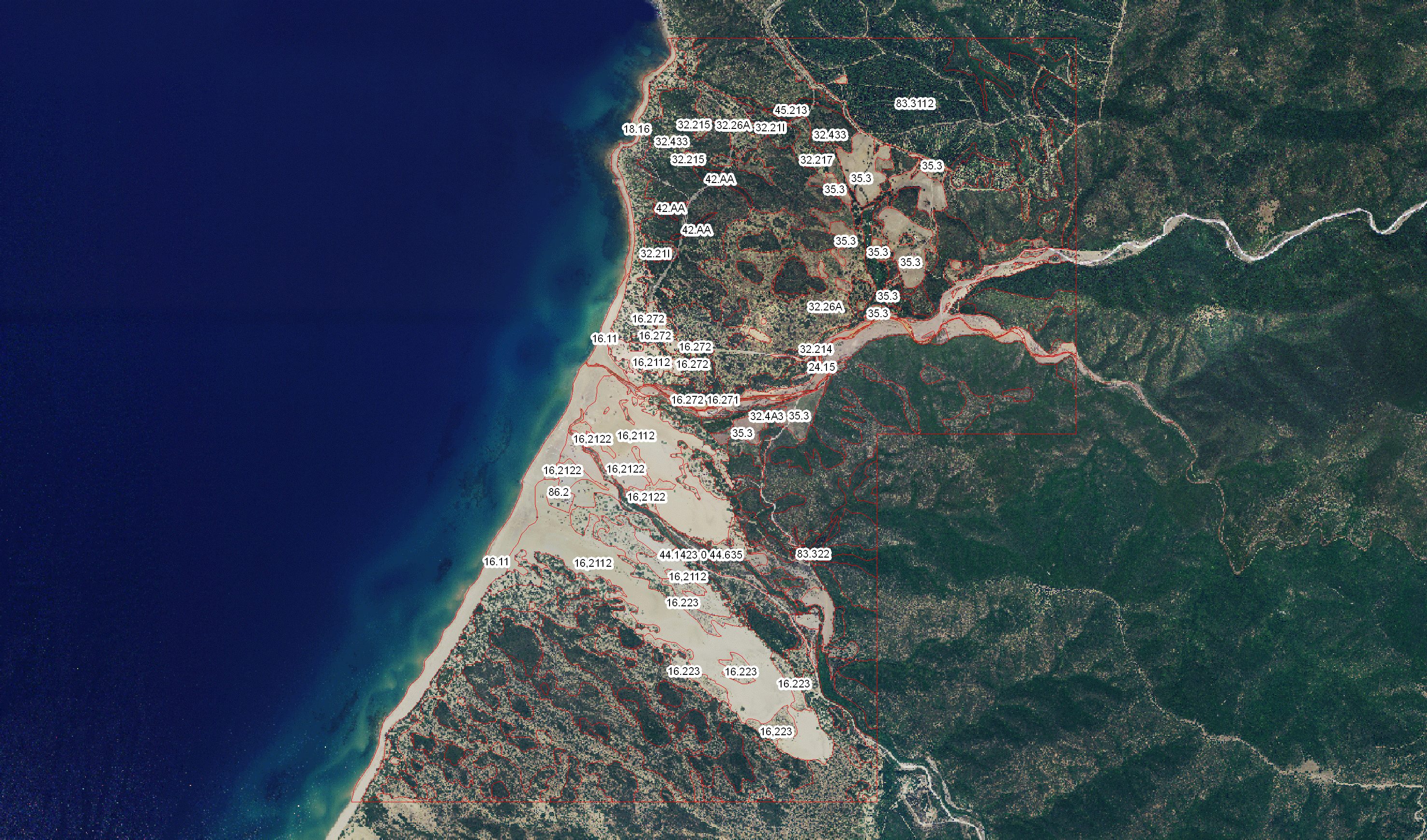
- ISPRA is independently developing the Map of the habitats in Sardinia, in the area SIC ITB040031 "Monte Arcuentu, Rio Piscinas (VS)"