The 3D geological model of the Florence urban area
Florence
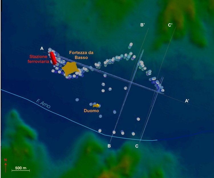
The availability of a great number of boreholes realized for designing the new underground railway station and for the second tramway line make the Florence area an ideal one to define a suitable methodology for the creation of 3D geological models, especially in urban areas.
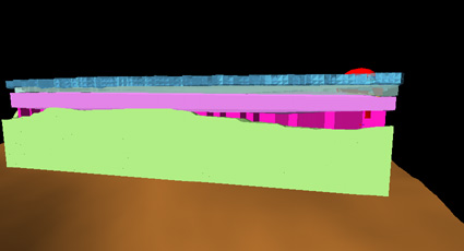
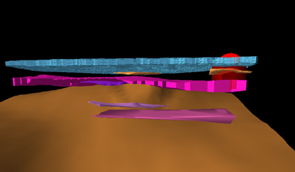
The complex geometries of the channels in the alluvial plain of the Arno river were modelled in the central part of the urban area according to the available detailed borehole stratigraphies.
|
|
|
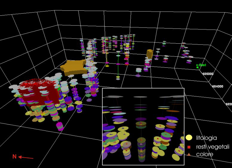
First the boundary surfaces between different lithological units and more continuous and wider than others were built, then the surfaces bounding lenticular and discontinuous bodies. This multiscale approach enabled the 3D reconstruction of very little and complex geological bodies.
|
|
|
This 3D model had been presented during the 32° International Geological Congress held in Florence ( Araneo et alii, 2006)